


Interactive Point Clouds
Explore our sample LiDAR and 3D scanning data hosted in partnership with Convex Geomatics. Experience true-to-life site models and see how precision mapping supports better decisions on every project.
[Launch Viewer →]
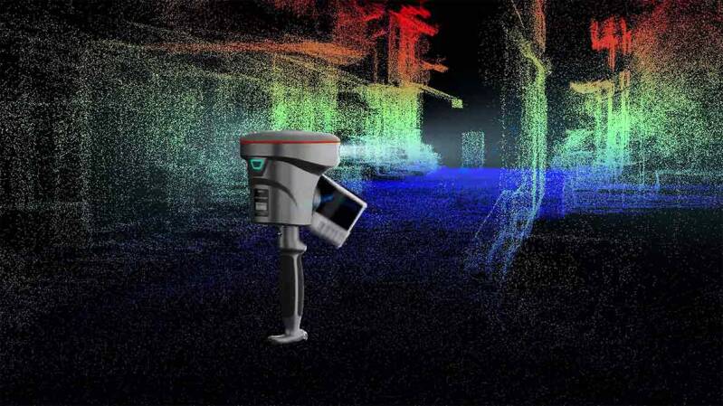
The RS10 SLAM Scanner in Action
Our scan data below represents a step change in how point clouds are experienced compared to a few years ago.
Each “pixel” from the point clouds on the right are real, selectable points with coordinates attached. Instead of an abstract field of dots, the data is now dense enough to clearly resemble the real environment, while remaining fully measurable and accurate beneath the surface.